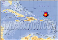
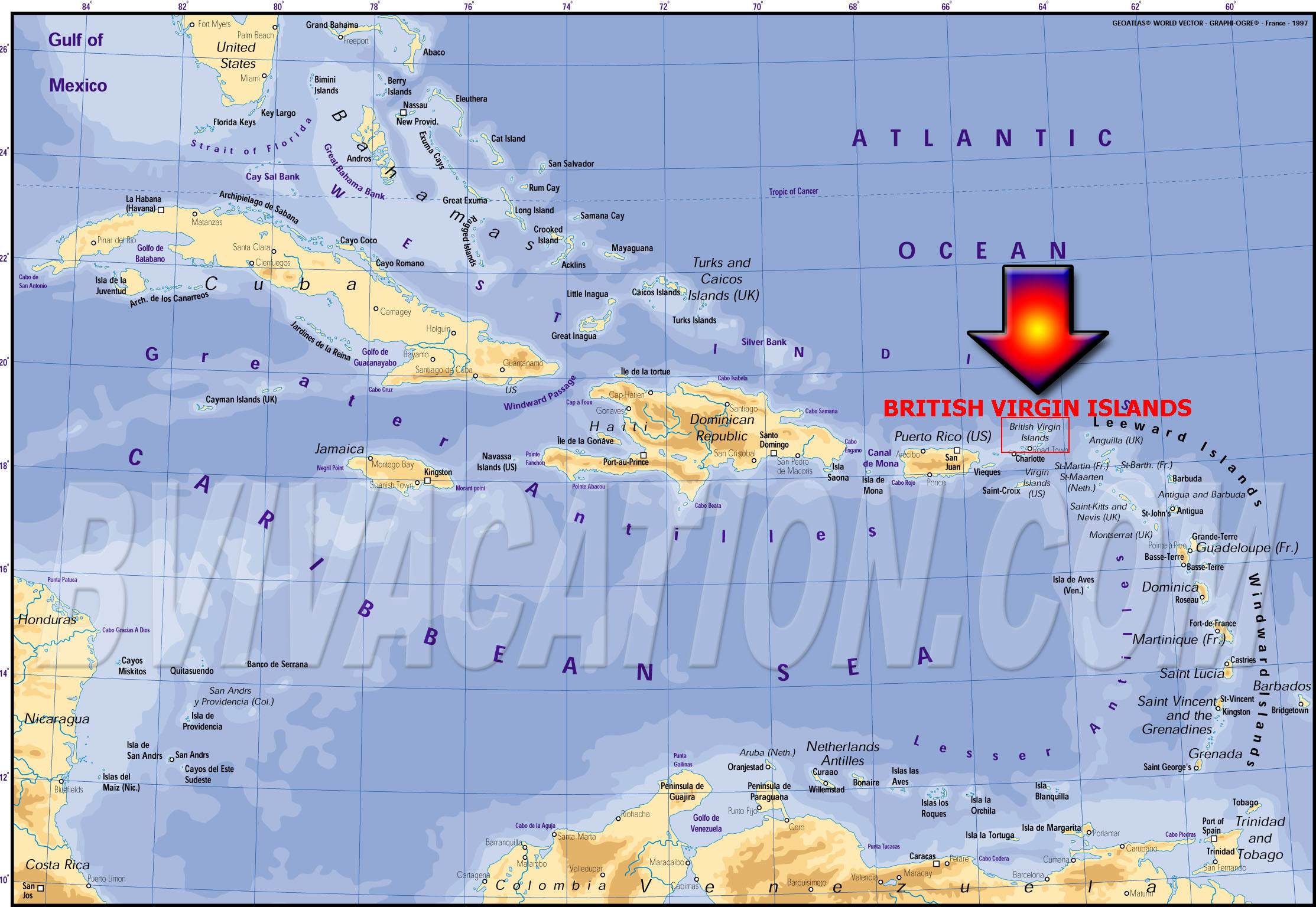
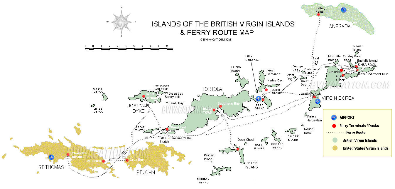
Map of BVI | British Virgin Islands Map | BVI MAP
See below British Virgin Islands Map along with maps of the other major islands of the BVI. Tortola map shows zoom detail of road town area. see legend for details on map of Tortola
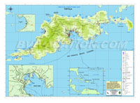
Tortola Map
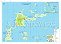
Virgin Gorda, British Virgin Islands Map
- This BVI Map includes specific information on Spanish Town. Also see Islands around Virgin Gorda on Map including Necker Island and Eustatia Island
Virgin Gorda Map
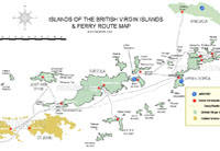
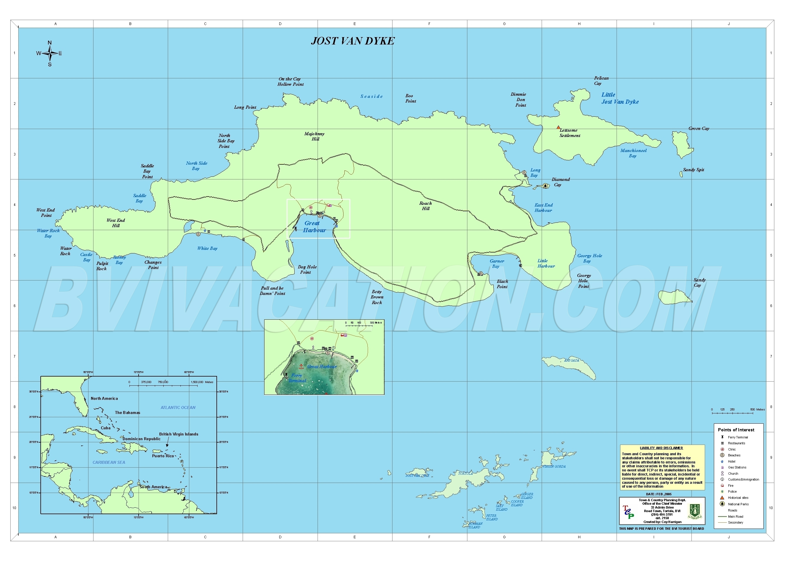
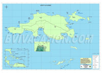
Jost Van Dyke Map
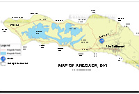
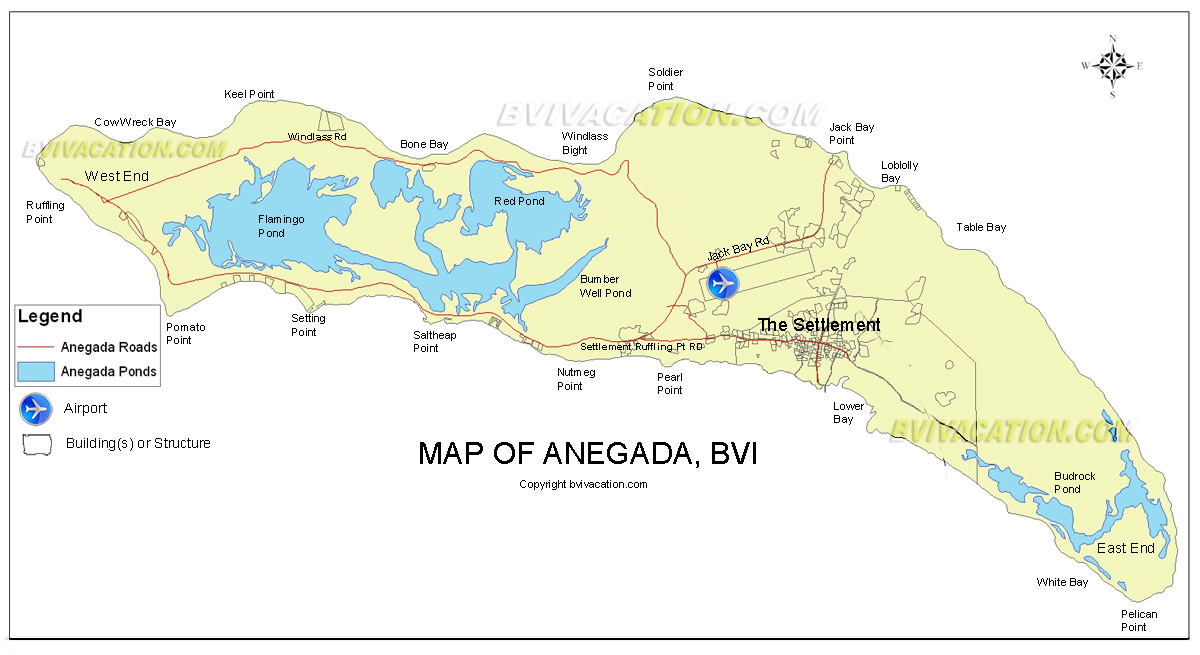
Anegada Map